SPACE DATA
We provide space data & processing services for different applications like Agriculture, 3D CAD drawings, Preliminary GeoTech, Topography drawings, Urban planning, Biodiversity Net Gain counting etc.
We have 2 different levels of space data:
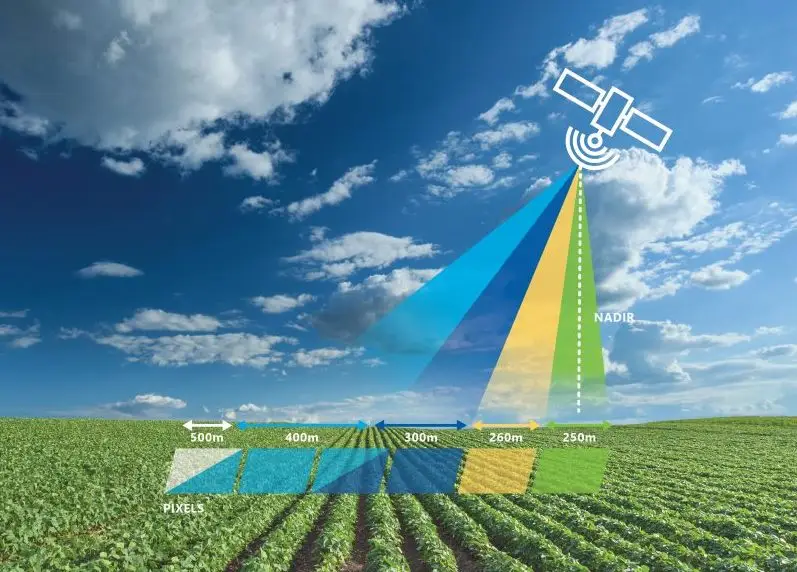
- Public data with low-resolution imaging (Usually 30 m) and mono-spectral / Multi spectral
- Commercial data with high- resolution (Up to 31 cm) with Multi-Spectral Hyper-Spectral images.
Data processing softwares:
ENVI, QGIS, MATLAB
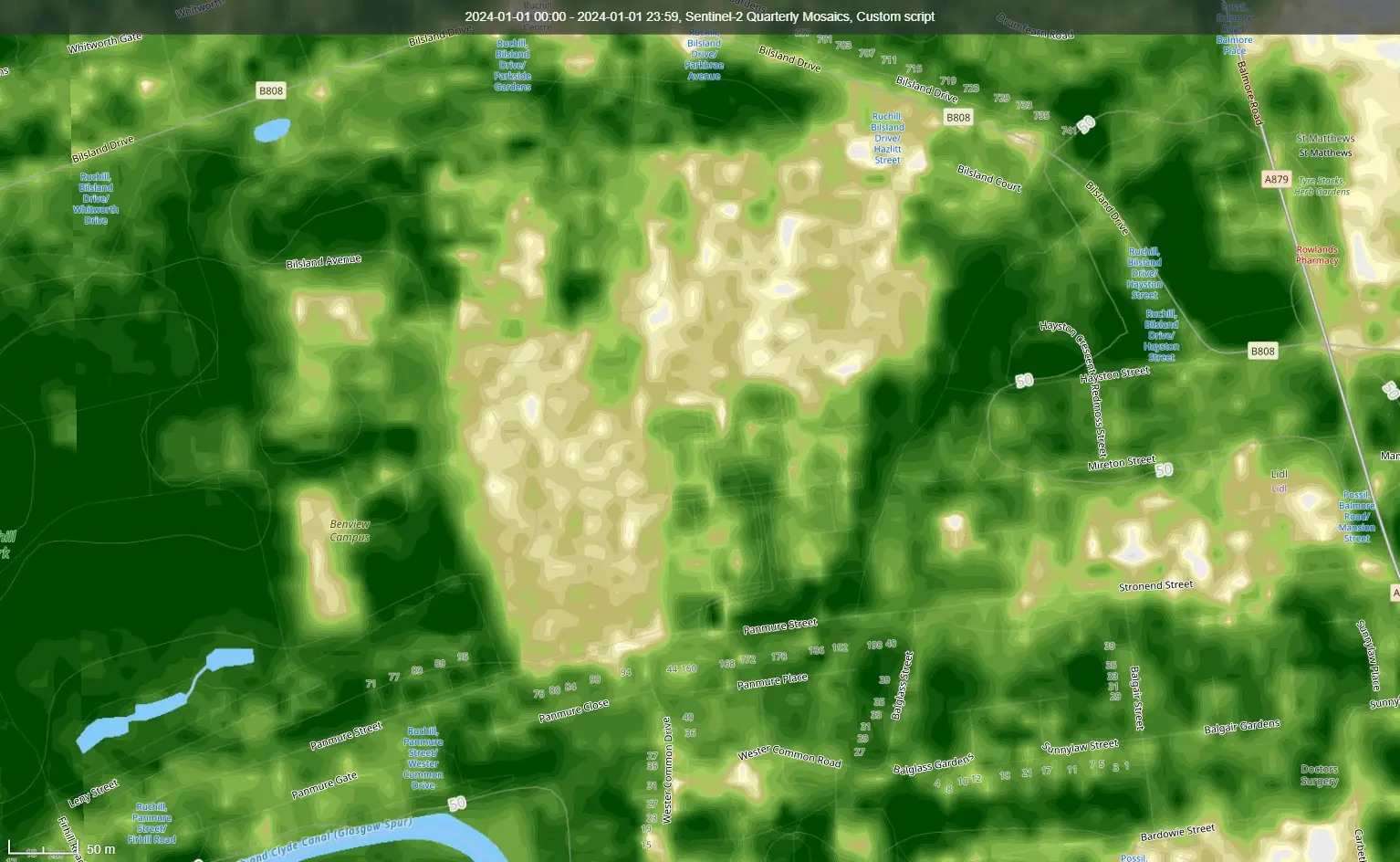
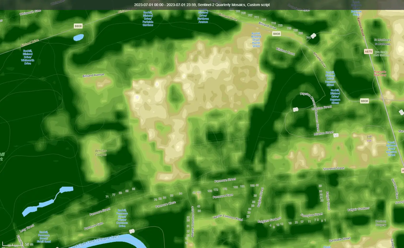
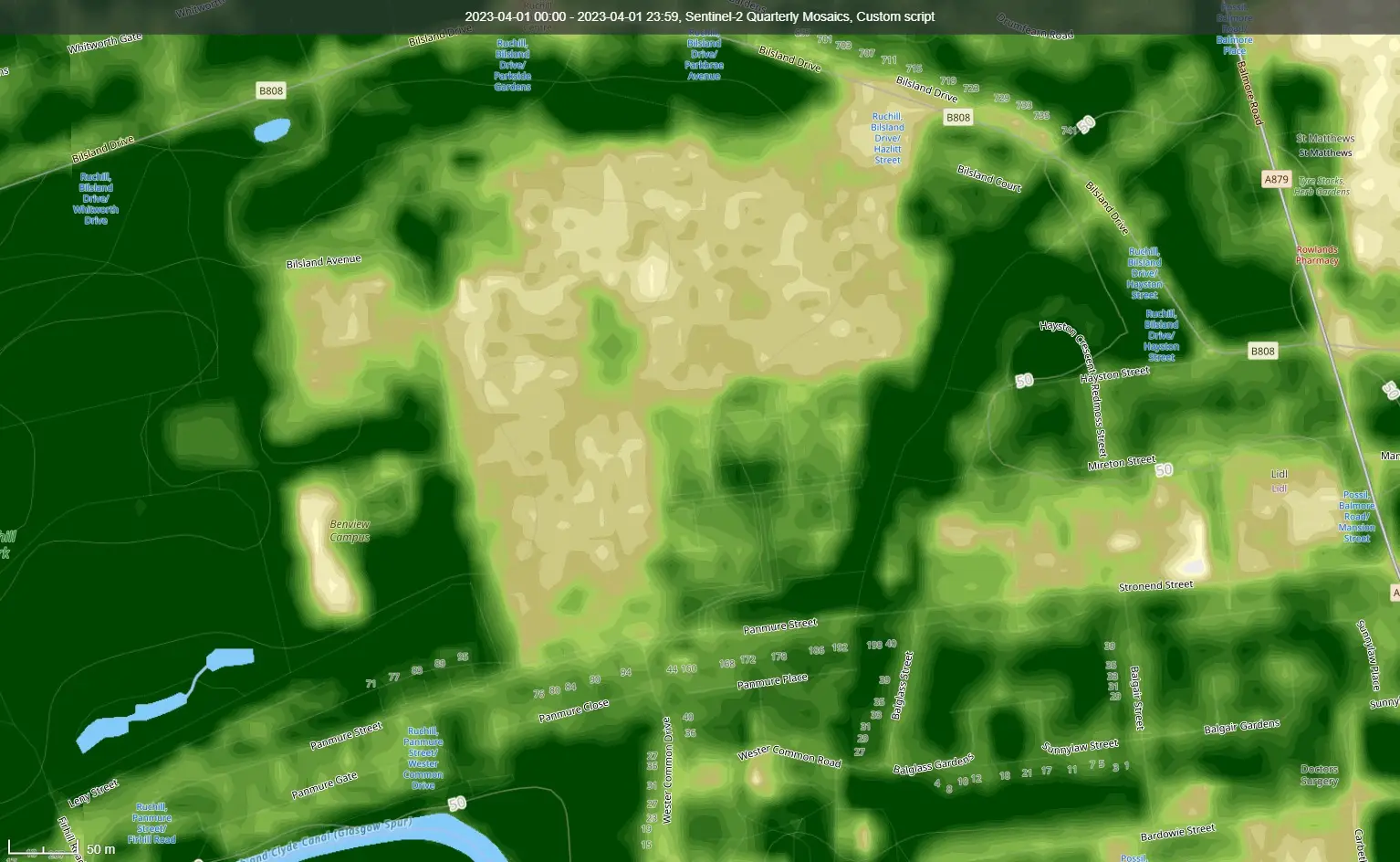
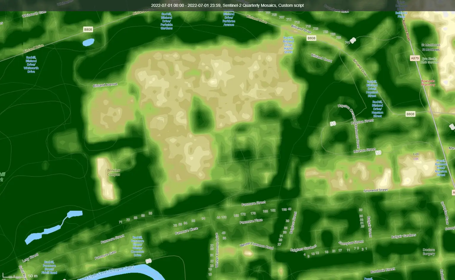
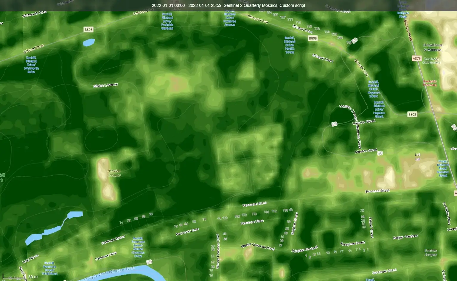
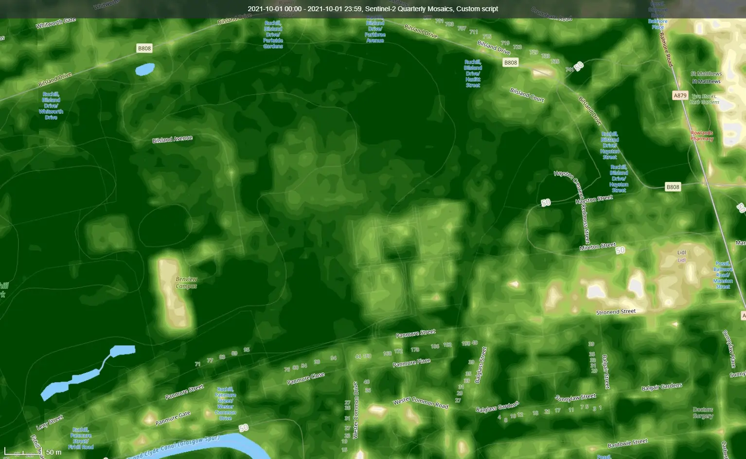
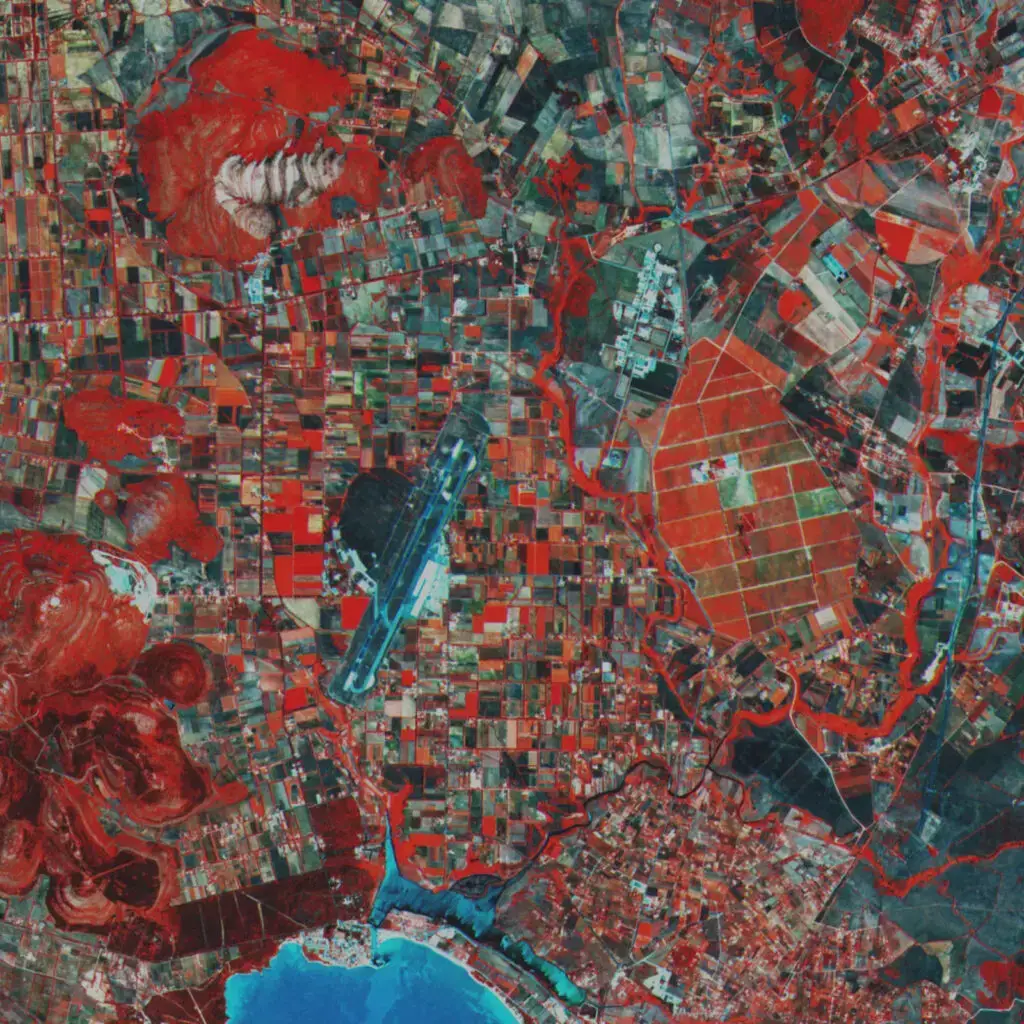
Public Space Data- Hyperspectral
| Satellite | Resolution | Bands | Source |
|---|---|---|---|
| NASA EO-1 | 30 m | 220 400-2500 nm | Earth Data LPDAAC |
| ESA Sentinel 2 | 10-60 m | 13 443-2190 nm | Coopernicus |
| LandSAT 8-9 | 30 m | 11 400-2500 nm | USGS, LandSAT Look Viewer |
Commercial Space Data
| Satellite | Resolution | Bands |
|---|---|---|
| WorldViewer (Maxar) | 31 cm | 29 400-1400 nm |
| HySpecIQ | 2.5 m | 185 400-2500 nm |
| Earth-I | 3 m | +100 400-2500 nm |
Introduction to SDaaS
Space data is no longer confined to scientific missions or government initiatives. It has evolved into a vast realm of commercial opportunities, with the global space industry projected to generate over $1 trillion in revenue by 2040.
One of the key models driving this transformation is Space-Data-as-a-Service (SDaaS). SDaaS allows businesses and organizations to access space-based technologies and infrastructure on demand without the need for significant investments in spacecraft, satellites, or ground infrastructure.
It’s like having a genie for your business—providing convenient, scalable, and cost-effective solutions on a pay-per-use basis.
How SDaaS Works
At the heart of SDaaS are satellites and space missions. Earth observation satellites, weather satellites, space telescopes, and planetary missions capture a vast array of data about our planet and the cosmos. SDaaS providers use ground stations and advanced data-processing techniques to receive, process, and analyze the data collected by satellites.
Raw data is converted into usable formats, and relevant information is extracted. Managing the enormous volumes of space data requires robust storage and management systems, with cloud computing and big data technologies playing a crucial role in efficiently storing, organizing, and retrieving data.
SDaaS platforms also offer data visualization tools and analytics capabilities, enabling users to create maps, charts, and models to gain insights from the information.
Applications of SDaaS
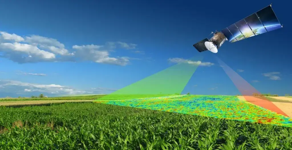
SDaaS unlocks the promise and power of extraterrestrial data, benefiting various sectors and addressing societal, economic, and scientific challenges. For example, in wildlife monitoring, satellite data supports scientists and conservationists in tracking and assessing wildlife in remote areas. In agriculture, farmers can optimize crop planning, monitor soil conditions, and enhance yield predictions using satellite imagery and climate data.
SDaaS also aids in disaster preparedness and response by providing real-time information on natural disasters such as hurricanes and wildfires. In urban planning, space data helps monitor urban growth, traffic patterns, and land use.
Additionally, SDaaS contributes to environmental studies and biodiversity net gain evaluation, providing critical insights for sustainable development.
CAVU Aerospace UK’s SDaaS Offerings
At CAVU Aerospace UK, we specialize in leveraging space data to provide advanced solutions across multiple industries. Our SDaaS offerings include:
- Construction Development Services: Real-time tracking of construction progress using satellite imagery and assessing the impact of construction projects on biodiversity.
- Agriculture Services: Analyzing soil properties, monitoring water stress levels, optimizing harvest schedules, and enhancing agricultural productivity.
- Environmental Study Services: Tracking wildlife populations, monitoring sea level rise, assessing water quality, and detecting deforestation.
- Asset Management Services: Using space data for security, surveillance, and change detection of infrastructure and land use.
- Ecological Surveys and Biodiversity Net Gain Reports: Conducting comprehensive surveys to assess ecological health and providing essential information for environmental impact assessments.