Damage Assessment
Remote sensing technologies, including satellite imagery and aerial data, are commonly used for this purpose. Here’s how damage assessment from space data can be achieved:
Optical Satellite Imagery
High-Resolution Images:
Satellites like WorldView, GeoEye, or Pleiades provide high-resolution images that help detect visible damage to infrastructure, vegetation, and landscapes.
Pre- and Post-Event Comparisons: By comparing images from before and after an event (e.g., earthquake, hurricane), changes can be identified and assessed.
Automation: Machine learning and computer vision algorithms can classify and quantify damage efficiently.
Synthetic Aperture Radar (SAR)
Day/Night and All-Weather Capability:
SAR sensors (e.g., Sentinel-1, RADARSAT) penetrate clouds and work at night, making them ideal for disaster scenarios like floods and landslides.
Deformation Measurement: SAR interferometry (InSAR) detects ground displacement or structural deformation after earthquakes or subsidence.
Multispectral and Hyperspectral Imagery
Surface Composition Analysis:
Can identify areas affected by chemical spills or fires based on spectral signatures.
Vegetation Health Monitoring: Post-disaster stress in vegetation can be assessed using indices like NDVI (Normalized Difference Vegetation Index).
LiDAR Data
3D Damage Mapping:
Airborne LiDAR provides detailed 3D models of structures, helping assess damages like collapsed buildings or terrain changes.
Forest and Urban Analysis: LiDAR is particularly useful for tree fall assessments and debris quantification.
Thermal Imaging
Heat Mapping:
Identifies hotspots such as fires or leaking industrial facilities.
Infrastructure Monitoring: Detects thermal anomalies in power lines, pipelines, or buildings.
Cloud-Based Platforms for Damage Assessment
Tools like Google Earth Engine, PlanetScope, or custom GIS platforms integrate satellite data and provide automated damage assessment, enabling faster response times.
Applications
Disaster Response:
Earthquakes, hurricanes, floods, fires, and landslides.
Urban Damage Assessment:
Post-war or bombing assessments.
Environmental Monitoring:
Oil spills, deforestation, or pollution.
details, panel arrangement, and nearby vegetation.
Post-Storm Data Acquisition
Collect post-event data from satellites with suitable resolutions and wavelengths.
Use SAR for cloudy conditions.
Automated Change Detection
Use machine learning or image processing techniques to highlight changes in pixel values between pre- and post-event images.
Detect anomalies like missing panels, debris, or shadowing.
Thermal Analysis
Identify hotspots indicating damaged panels or faulty electrical systems.
Output Damage Maps
Generate GIS-compatible maps showing the extent and severity of damage.
Highlight areas requiring immediate attention, such as critical electrical faults or heavy debris accumulation.
Key Indicators of Damage
Missing or displaced panels.
Structural deformation of mounting systems.
Shading from fallen debris or vegetation.
Faulty electrical connections (thermal anomalies).
Ground subsidence or erosion affecting arrays.
Satellite Data Sources
High-Resolution Optical: WorldView, Pleiades, SkySat.
Thermal: Landsat-8/9, ECOSTRESS (for coarse thermal resolution).
SAR: Sentinel-1, TerraSAR-X.
Multispectral: Sentinel-2, PlanetScope.
Sample:
Storm Damage Assessment in Under-development PV Farm Assessing storm damage in a PV (photovoltaic) farm using space-based data is feasible and involves specific techniques tailored to identify the effects on solar panels, associated infrastructure, and surrounding vegetation.
Here’s how you can achieve this:
Key Methods for PV Farm Damage Assessment
High-Resolution Optical Imagery
Panel Damage Detection: High-resolution satellite imagery (e.g., from Maxar’s WorldView or Airbus’s Pleiades satellites) can identify large-scale displacements or destruction of PV arrays.
Flooding Assessment: Can reveal waterlogging or debris on the PV farm.
Shading Analysis: Detect obstructions like fallen trees or debris casting shadows on the panels.
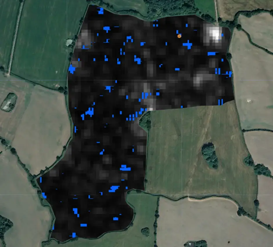
Thermal Infrared Imagery
Hotspots Detection: Damaged panels may overheat and show anomalies in thermal infrared bands.
Infrastructure Monitoring: Locate faults in wiring or transformers.
Synthetic Aperture Radar (SAR)
Structural Deformation: Identify displacement of panels or subsidence in the PV farm’s ground using SAR interferometry.
Debris Mapping: Detect storm-induced debris fields, even in cloudy conditions.
Multispectral and Hyperspectral Imaging
Vegetation Stress: Assess damage to surrounding vegetation, which may indirectly impact the farm.
Panel Reflectivity Changes: Damaged panels may show changes in their reflectance spectrum, especially in the visible and near-infrared bands.
LiDAR Data
3D Structural Assessment: Detailed elevation models can reveal panel tilting, mounting structure damage, or terrain changes caused by erosion or landslides.
Aerial and Drone Data (Supplementary)
While satellite data provides a broad view, drones equipped with RGB, thermal, or multispectral cameras can offer localized, high-resolution assessments.
Workflow for Damage Assessment
Baseline Data Collection:
Acquire pre-storm imagery of the PV farm for comparison.
Include layout